
Data Centre Land Acquisition
From first check to survey-grade certainty for both sides of the deal.

TERMINUS gives developers, hyperscalers, and land agents the land intelligence to know which sites can actually deliver.
TERMINUS provides landowners a fast, plain-English answer on whether their land is worth a developer’s attention.
One platform, three levels of certainty: an Instant Classification Report, a Full Intelligence Report, and a Full Parcel Viability Report backed by on-site LiDAR and drone survey capability.
How to use TERMINUS for Data Centres
Whether you’re searching for sites or sitting on land you’re not sure has potential, TERMINUS has a report built specifically for you.
- Landowners — the IRC Instant Classification Report a fast low cost first stage to the assessment of your land
- Developers, hyperscalers & land agents — the Full Land Intelligence Report & Full Parcel Viability
- For agents and contractors, it means walking into every conversation with the answers already in hand.
- For local authorities, it means planning built on evidence, not estimation.
TERMINUS doesn’t just show you the map. It tells you what to do with it.
The Instant Classification Report
Not everyone selling land knows whether it’s worth a developer’s attention. The ICR Instant Classification Report tells you fast — before anyone spends time or money finding out the hard way.
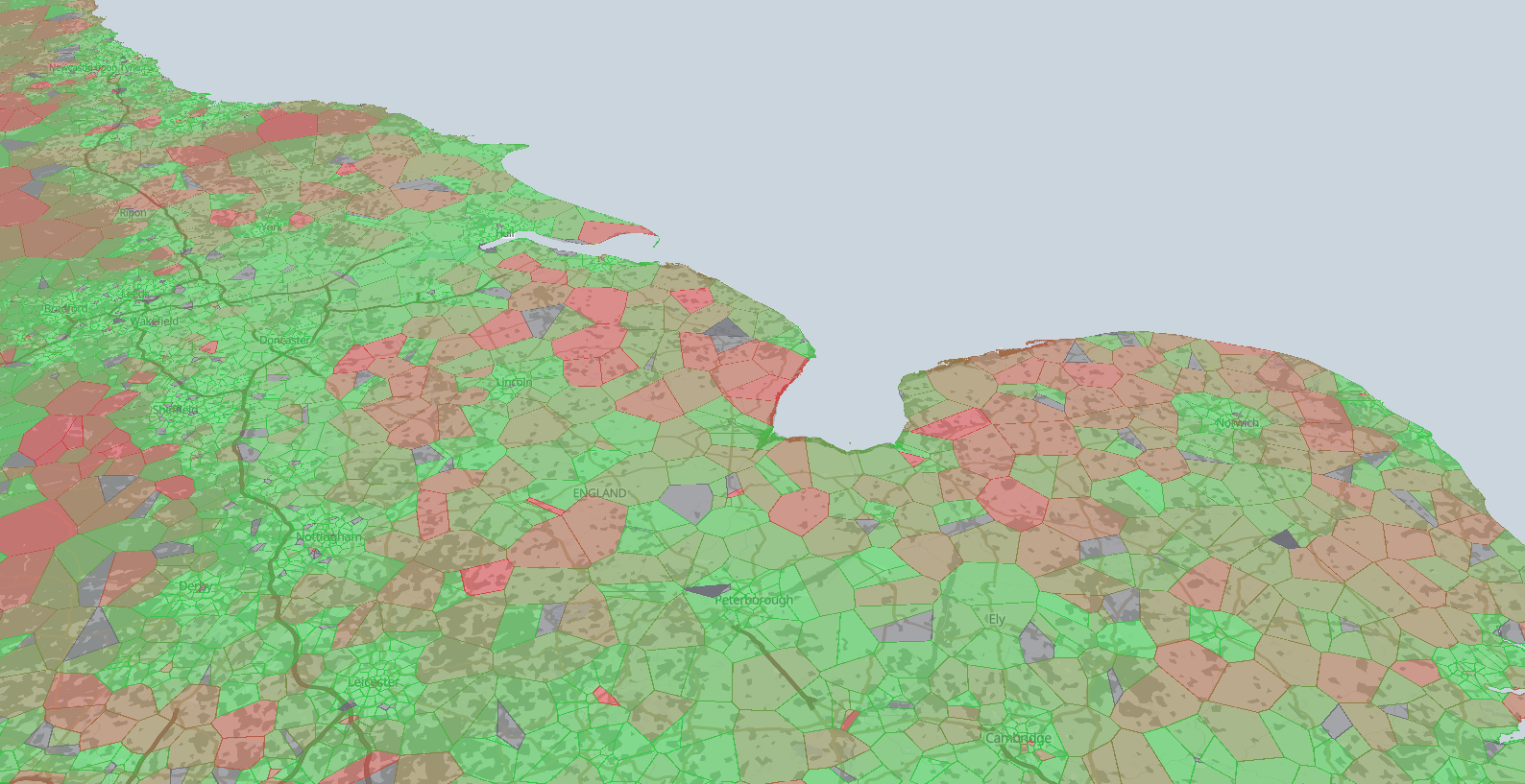
- Red, Amber, or Green — a straight answer on whether your land is worth exploring further.
- Plain English throughout — no planning jargon, no technical scoring no need for a consultant or conveyor to interpret.
- Based on the essentials — proximity to grid capacity, size, planning designation, and access.
- Fast turnaround — know where you stand before committing to anything further.
Your land might be worth more than you think. ICR tells you, in minutes, whether it’s worth finding out exactly how much.
Find out in minutes whether your land is suitable for further investigation.
Core Capabilities
TERMINUS
The Full Land Intelligence Report
Built for buyers who already know what they’re looking for — and need every detail confirmed before committing resource to a site.
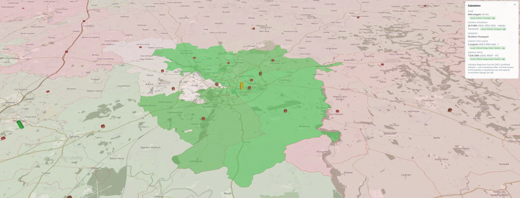
- Grid capacity & connection queue position
- Planning history & constraint mapping
- Environmental & flood risk
- Ground conditions & stability
- Access, highways & infrastructure proximity
- Utilities availability
- Ownership & title
- Comparable site benchmarking
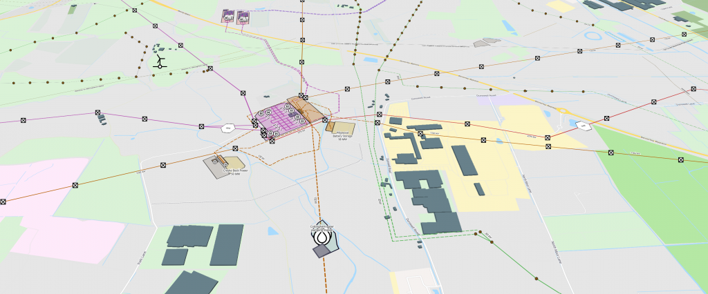
Every layer is resolved against the specific site not the wider region. This is the full technical picture, in one report. TERMINUS is where the search ends.
No stone left unturned. No site visit needed to find out it wasn’t worth the trip.
Core Capabilities
TERMINUS
Full Parcel Viability
Once a site has generated genuine developer interest, desk-based data alone isn’t enough to commit to. Full Parcel Viability puts the site under physical investigation — turning strong data into confirmed, survey-grade certainty.
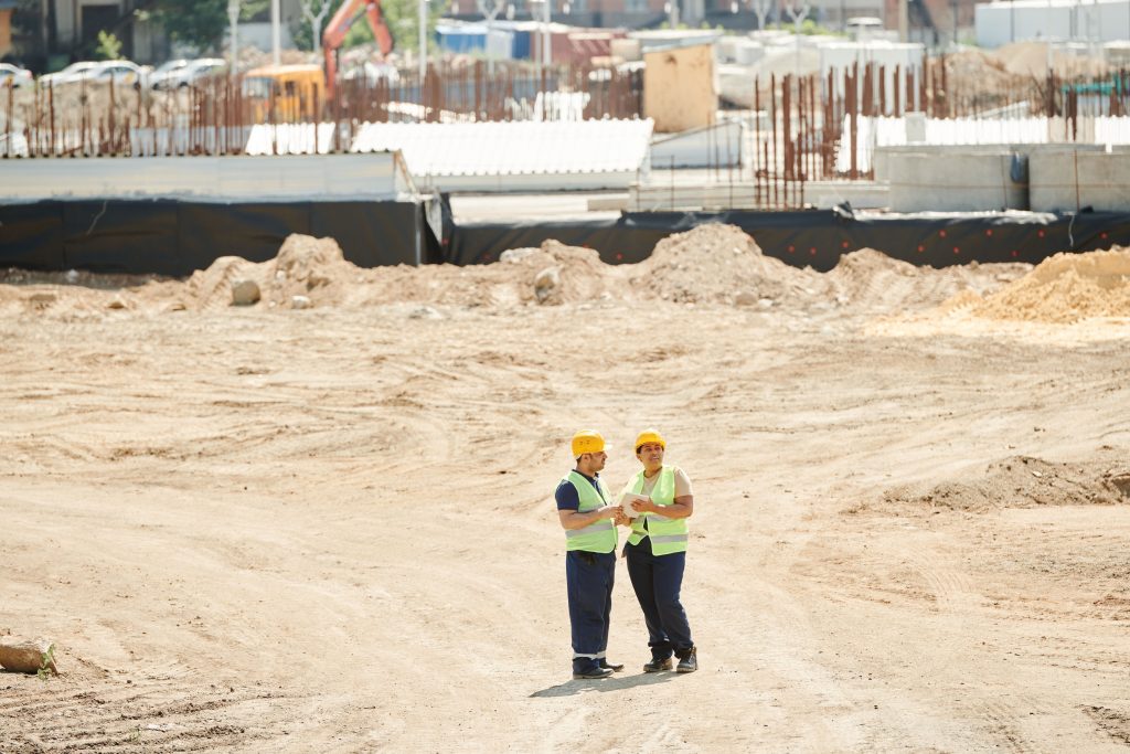
- On-site LiDAR & drone survey — millimetre-precision topographic mapping covering the entire site.
- Ground condition verification — physical confirmation of the stability and conditions reported at desk stage.
- Digital twin generation — a full 3D model of the site for planning, design, and construction teams to work from immediately.
- On-site utilities & access confirmation — verifying grid, connectivity, and access in person, not on paper.
- Full survey documentation — the physical evidence base needed to support acquisition, planning submission, or construction sign-off.
This is the level of investment reserved for sites that are ready to move — where a developer needs certainty on the ground, not just certainty on paper.
Where the data ends and the survey begins.
Core Capabilities
TERMINUS

Terminus
Terminus
Terminus
Terminus
Terminus
Terminus
Terminus
Terminus
How TERMINUS Works
From raw data to a decision, in one continuous process.
TERMINUS
Where the Search Ends

DATA
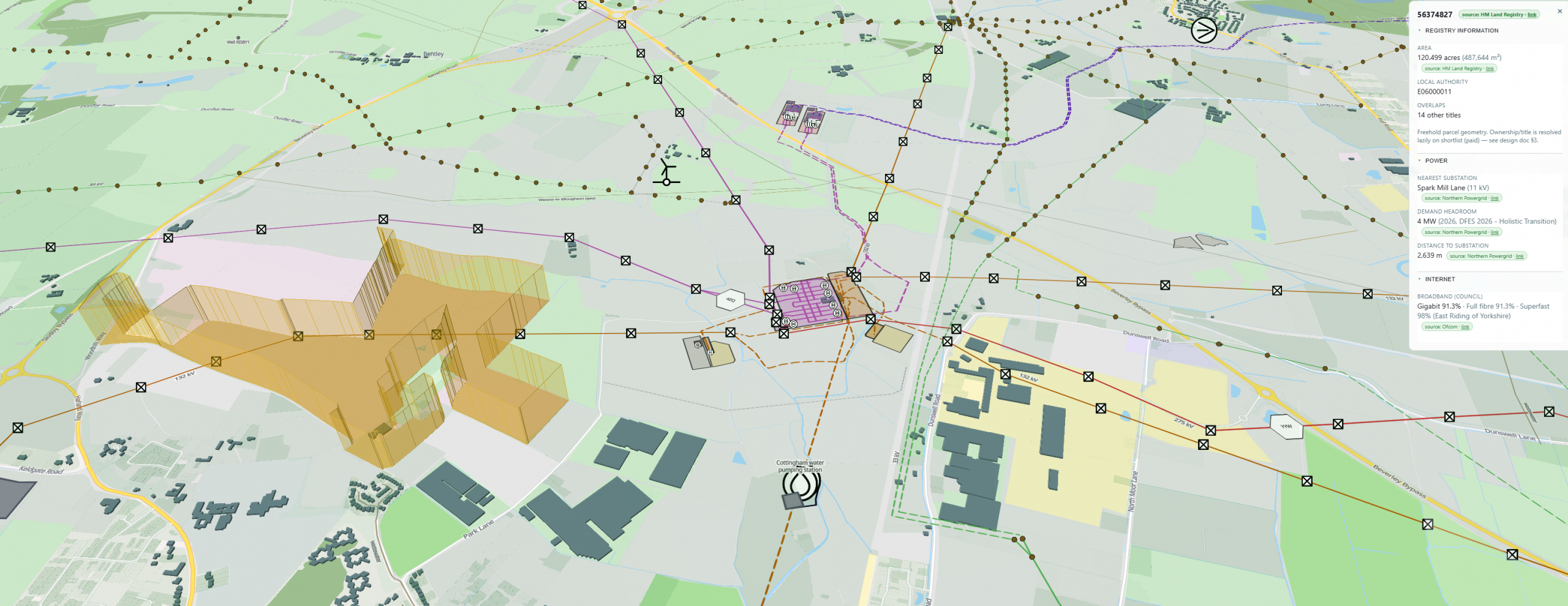
TERMINUS pulls together grid capacity data, planning history, environmental constraint, and infrastructure mapping for any parcel of land, at any scale — including the regulated search data (CON29, LLC1) traditionally ordered separately through a solicitor. Nothing has to be requested from multiple providers or chased individually.
MAP
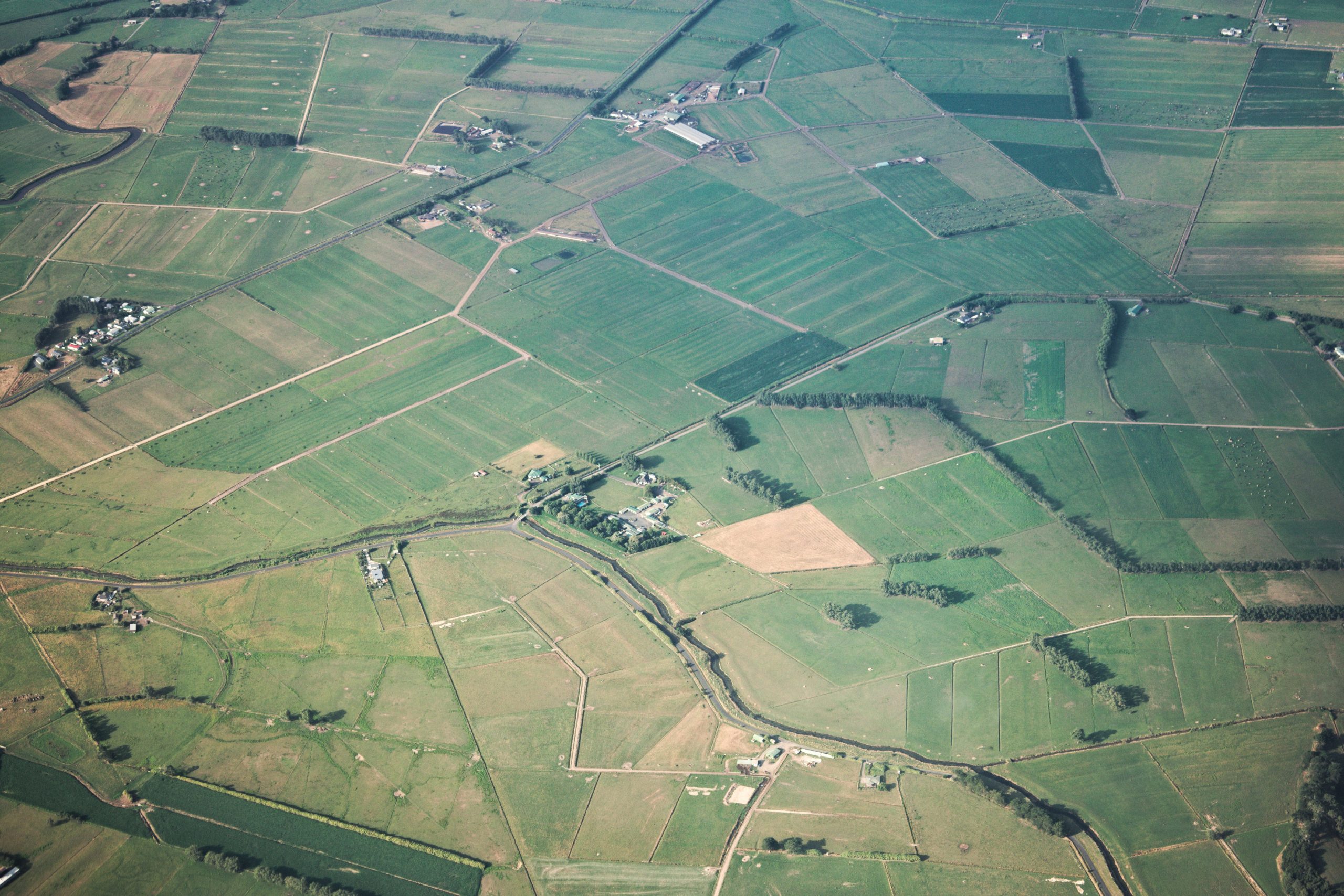
Every layer is resolved against the specific site, not the wider region, so the picture you get is precise from the very first pass — not a generalised overview that still needs local interpretation.
ASSESS
TERMINUS scores each site against the criteria that actually determine viability: power availability, connectivity, planning risk, and ground conditions. Where deeper ground-truth is needed, LiDAR and drone survey capability feeds directly in.

DECISION
The output isn’t a stack of documents to interpret. It’s a clear, defensible position on whether — and where — to build, buy, or proceed, backed by everything that came before it.
What used to take weeks, across multiple providers, now happens in one place.

Terminus is the future of land intelligence
Terminus is the future of land intelligence
One Platform. Built for Any Question About Land.
TERMINUS is built to answer any question about land. Right now, that expertise is concentrated in two core applications:
TERMINUS
The Land Intelligence Platform
Data Centre Land Acquisition
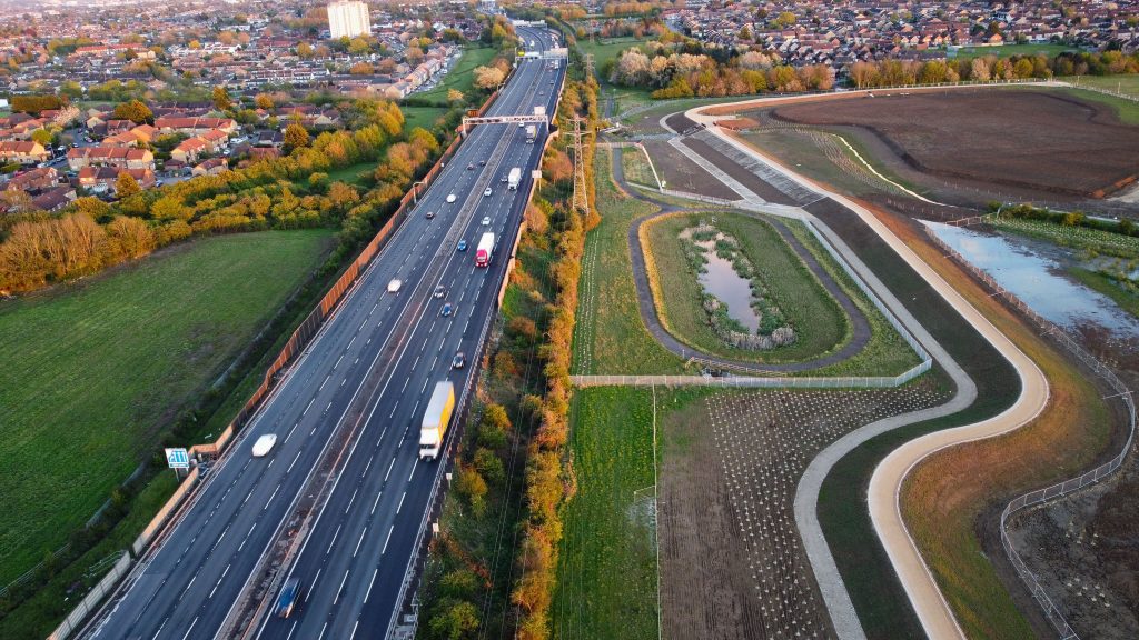
For developers, hyperscalers, and landowners alike — TERMINUS identifies, assesses, and values land for data centre development.
- ICR Instant Classification Report
- Full Land Intelligence Report
- Full Parcel Viability
Know which sites can deliver. Know what your land could be worth.
Conveyancing & Land Intelligence
The same regulated CON29, LLC1, and Local Land Charges searches your solicitor relies on — delivered instantly, not in 6–8 weeks.
- Limited, Advanced, and Premium tiers — choose the level of detail your transaction needs.
- Full legal standing — the real regulated searches, not a summary.
Same searches. A fraction of the time. A fraction of the cost.

the SEARCH ends
The Search Ends
THE SEARCH ENDS
The Search Ends
THE SEARCH ENDS
The Search Ends
Supporting Build Teams
The Right Intelligence Before the Ground Breaks
We Work With
Builders
Your ability to programme, cost, and commit depends entirely on the quality of site intelligence upstream. Ground conditions, topography, access constraints, and utilities proximity all directly affect your build programme and commercial exposure.
GIS-World gives construction teams the spatial clarity they need before a spade goes in the ground — reducing surprises, protecting margins, and accelerating the path from land to live.
What we deliver for builders:
- Ground condition and topographical analysis to inform foundation and earthworks planning
- Flood risk and drainage constraint mapping
- Utilities and services proximity assessment
- Access route analysis and site logistics intelligence
- Early-stage feasibility data to support programming and cost planning

Is Your Land Data Centre Ready?
Turn Your Land Into a Credible Development Proposition
We Work With Land Owners
You may be sitting on land with significant untapped value. But positioning it credibly for data centre development requires more than acreage and availability — developers and hyperscalers need evidence.
Power proximity, planning position, connectivity, and risk profile all determine whether your land makes the shortlist or gets passed over. GIS-World prepares landowners with the geospatial evidence that serious buyers expect.
What we deliver for land owners:
- Power and grid proximity assessment to establish connection viability
- Planning constraint and zoning analysis to identify development potential
- Risk profile report covering flood, contamination, and environmental designations
- Connectivity and fibre infrastructure mapping
- A structured evidence pack designed to withstand developer due diligence
For the Teams Driving the Data Centre Pipeline
Move First. Move With Certainty.
We Work With
Operators &
Developers
You are building, leasing, or acquiring data centre capacity at pace — and the pressure to identify, qualify, and secure viable sites ahead of the market has never been greater. Every week lost to inadequate site intelligence is a week your competition gains.
GIS-World delivers the full acquisition intelligence picture so your team can move with speed and certainty from first look to final commitment.
What we deliver for Operators & Developers:
- Multi-criteria site suitability analysis across power, planning, and connectivity
- Grid capacity and substation proximity mapping
- Sustainability and ESG spatial intelligence to support planning and investor reporting
- Fibre and dark fibre route assessment
- LiDAR terrain modelling for engineering and feasibility
- Bespoke intelligence packages built around your acquisition criteria and timeline

“We had been searching for a viable site for over six months using traditional methods. GIS-World turned around a comprehensive intelligence report in days that not only confirmed our shortlisted site but identified two stronger candidates we hadn’t considered. It fundamentally changed how we approach site acquisition.”
— Head of Acquisitions, Co-Location Operator

“We had farmland that had been in the family for generations and no idea it could be of interest to data centre developers. GIS-World assessed it, explained everything clearly, and within weeks we had introductions to three serious developers. The process couldn’t have been simpler.”
— Private Landowner, East Midlands

“The level of detail in the pre-construction intelligence package GIS-World provided gave our bid team a significant advantage. We priced with confidence, won the contract, and came in on programme. That’s a direct result of having the right spatial data from day one.”
SEAN FISHER
“We had been searching for a viable site for over six months using traditional methods. GIS-World turned around a comprehensive intelligence report in days that not only confirmed our shortlisted site but identified two stronger candidates we hadn’t considered. It fundamentally changed how we approach site acquisition.”
JANET MORRIS
“The level of detail and creativity this agency brings to the table is phenomenal. They truly understood our brand and executed a website that reflects our mission perfectly. Exceptional work!”
WILLEM BROWN
“I’m thoroughly impressed by the professionalism and expertise of the entire team. They delivered on time and exceeded our expectations with a stunning, user-friendly site.”
SEAN FISHER
Let’s work together on your
next web project
Every project is a journey, and we are here to guide you every step of the way.