

The Intelligence Behind the Land.
GIS-World delivers precision geospatial insight for data centre land acquisition — giving developers, investors, and land agents the competitive edge before a single planning application is filed.
The Intelligence Behind the Land.
GIS-World delivers precision geospatial insight for data centre land acquisition — giving developers, investors, and land agents the competitive edge before a single planning application is filed.
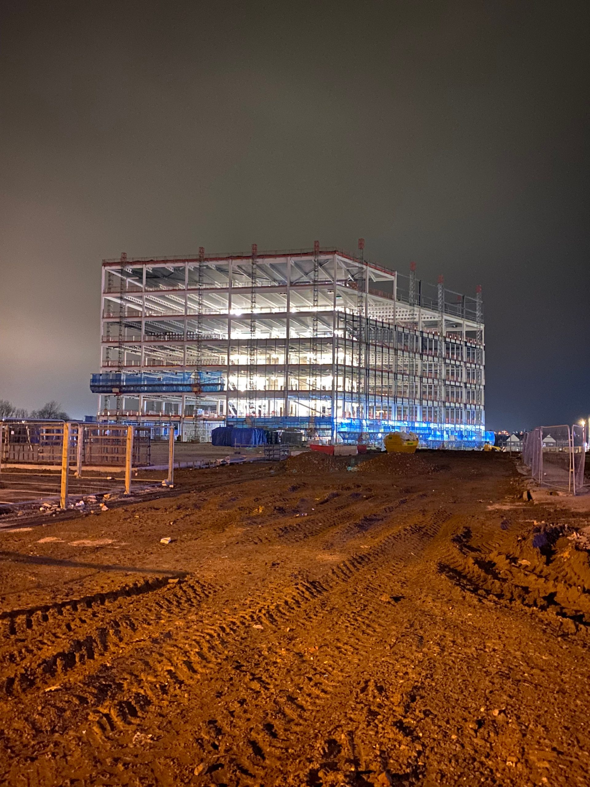
The Data Centre Land Race Is Moving Fast. Most Are Flying Blind.
The demand for data centre capacity across the UK and Europe is accelerating at an unprecedented rate. But identifying, qualifying, and securing the right land — land that meets power, connectivity, planning, and environmental criteria — remains a slow, costly, and high-risk process.
Traditional site searches rely on outdated mapping tools, fragmented datasets, and manual desk research. By the time a site reaches your shortlist, a competitor may already be ahead of you.
GIS-World changes that.
Not All Land is Equal.
Identifying a data centre site is far more complex than locating available land. Developers and purchasers evaluate sites against a demanding and multi-layered set of criteria — and the consequences of getting it wrong are costly.

Power Availability
Reliable grid access is often the single deciding factor in site selection. Securing a power agreement requires submitting a robust business case to the utility provider and entering a queue that can take months. Proximity to substations and grid connection points must be assessed early and accurately.
Water & Cooling Infrastructure
Data centres generate enormous heat. Access to reliable water sources or the infrastructure to support closed-loop cooling systems is a key site requirement, and one that is frequently overlooked in early-stage searches.
Risk Profile
Flood zones, ground contamination, environmental designations, and proximity to hazardous sites all affect both viability and land value. A comprehensive risk assessment is essential before any power agreement or planning submission proceeds.
Fibre & Connectivity
Strong fibre infrastructure determines latency performance and data transfer capacity. Proximity to dark fibre routes and exchange points is a critical qualifier.
Planning Constraints
Green Belt designations, flood risk zones, heritage assets, ecological designations, and local planning policy can all render an otherwise attractive site unviable. These must be overlaid and understood before any commercial commitment is made.
Local Zoning, Policy & Regulations
Beyond headline planning designations, the local regulatory picture is often where deals quietly die. Tax incentives, land use restrictions, and local authority appetite for development vary enormously across jurisdictions — and getting it wrong after commercial commitment is an expensive mistake.
Geospatial Intelligence Built for the Data Centre Land Market.
GIS-World combines high-resolution geospatial data, AI-driven analysis, and deep sector expertise to give land teams a complete, accurate picture of any candidate site — delivered in days, not weeks.
Integrating National Grid, Ordnance Survey, Environmental, Local Planning Authorities, and a range of proprietary sources. The result is a single, coherent intelligence picture — built specifically around the criteria that data centre developers actually use.
Core Capabilities
GIS-WORLD
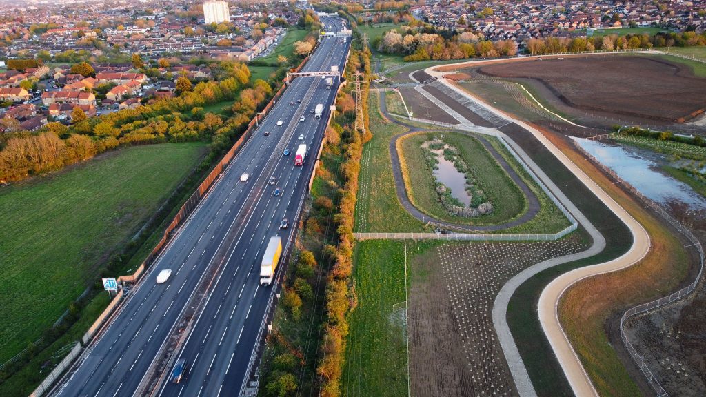
Core Capabilites 1
Multi-Criteria Site Suitability Analysis
Rapid assessment across power proximity, grid capacity, planning constraints, environmental risk, topography, and connectivity — presented as a clear, decision-ready output.
Grid & Power Infrastructure Mapping
Identify viable grid connection points, substation proximity, and available capacity at the earliest stage — before entering the utility queue with an unsupported request.
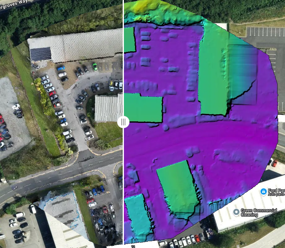
LiDAR & 3D Terrain Modelling
Precision topographical analysis to inform site engineering assessments, flood risk evaluation, and development feasibility — at the level of accuracy that technical due diligence demands.
Core Capabilities 2
Planning Constraint Intelligence
A fully overlaid picture of Green Belt, SSSI, flood zones, heritage assets, ecology, and local planning policy — integrated into a single spatial view rather than assessed in silos.
Fibre & Connectivity Analysis
Dark fibre route mapping, exchange proximity profiling, and latency performance assessment — the connectivity intelligence hyperscalers and co-location providers demand.
Sustainability & ESG Spatial Intelligence
As regulatory pressure intensifies — from the EU Energy Efficiency Directive to SEC Climate Risk Disclosure requirements — data centre developers must demonstrate environmental credentials from site selection onwards. Our sustainability mapping supports ESG positioning from day one.
We are driven by values
Urban Proximity & Workforce Intelligence
Proximity to urban centres affects everything from talent availability to supply chain reliability and planning receptiveness. We map workforce catchment areas, transport connectivity, and urban adjacency to ensure your site can be staffed, serviced, and supported from day one.
Renewable Energy & Substation Capacity Mapping
With sustainability credentials increasingly embedded in planning conditions and ESG reporting requirements, understanding a site’s access to renewable energy sources is critical. We identify substation capacity, renewable energy proximity, and grid upgrade pathways — giving developers the power story before it becomes a problem.
Bespoke Intelligence Packages
Clear, structured reports designed for land acquisition teams, investment committees, planning consultants, and local authority planning departments — built around your specific project requirements and delivered at the pace the market demands.
Precision. Speed. Clarity.
01 — Brief
You define the site criteria, geography, power requirements, and constraints that matter most to your project.

02 — Analyse
We run a multi-source geospatial assessment — integrating grid capacity, planning designations, environmental risk, topography, fibre infrastructure, and sustainability indicators — powered by our AI-driven analytical platform.

03 — Deliver
You receive a structured intelligence report — decision-ready, technically rigorous, and tailored to your audience, whether that is an acquisition committee, a planning submission, or a vendor negotiation.
Why GIS-WORLD?
Specialist Expertise. No Generalists. No Off-the-Shelf Data.
What makes GIS-WORLD Stand out
Intelligence not just Data

Specialist geospatial intelligence business.
We are not a generalist data provider, a surveying firm with a GIS module, or a mapping platform built for another industry and repurposed.
We exist to give data centre land teams the geospatial advantage — from initial site search through to acquisition and planning. Our team brings decades of combined expertise in GIS, AI, LiDAR technology, environmental data, and critical infrastructure intelligence — deployable on demand at the pace this market requires.
Our platform is built on proven geospatial infrastructure, already deployed across UK and European fibre network planning.
What sets us apart:
- Purpose-built for data centre land acquisition — not adapted from a broader GIS tool
- Multi-source data integration across grid, planning, environment, and connectivity in a single output
- AI-driven analysis that surfaces insight standard mapping platforms cannot
- Outputs designed for the people who make acquisition and investment decisions
- Active across UK and European markets
Supporting Build Teams
The Right Intelligence Before the Ground Breaks
We Work With
Builders
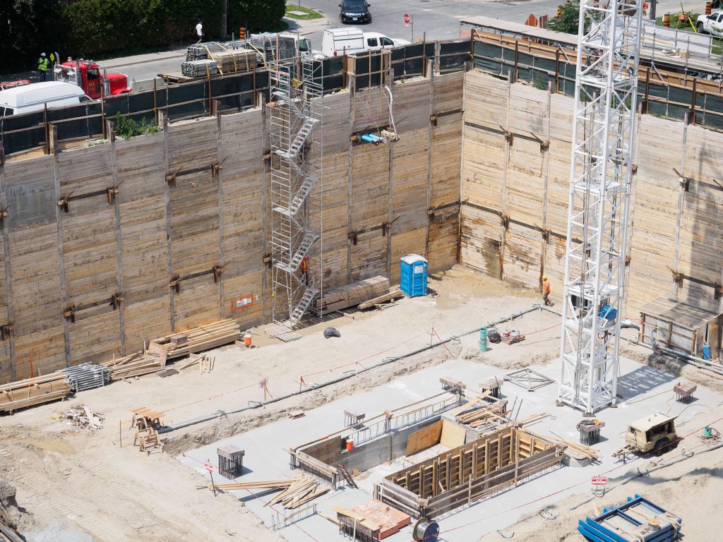
Your ability to programme, cost, and commit depends entirely on the quality of site intelligence upstream. Ground conditions, topography, access constraints, and utilities proximity all directly affect your build programme and commercial exposure.
GIS-World gives construction teams the spatial clarity they need before a spade goes in the ground — reducing surprises, protecting margins, and accelerating the path from land to live.
What we deliver for builders:
- Ground condition and topographical analysis to inform foundation and earthworks planning
- Flood risk and drainage constraint mapping
- Utilities and services proximity assessment
- Access route analysis and site logistics intelligence
- Early-stage feasibility data to support programming and cost planning

Supporting Build Teams
The Right Intelligence Before the Ground Breaks
We Work With Builders
Your ability to programme, cost, and commit depends entirely on the quality of site intelligence upstream. Ground conditions, topography, access constraints, and utilities proximity all directly affect your build programme and commercial exposure.
GIS-World gives construction teams the spatial clarity they need before a spade goes in the ground — reducing surprises, protecting margins, and accelerating the path from land to live.
What we deliver for builders:
- Ground condition and topographical analysis to inform foundation and earthworks planning
- Flood risk and drainage constraint mapping
- Utilities and services proximity assessment
- Access route analysis and site logistics intelligence
- Early-stage feasibility data to support programming and cost planning
Is Your Land Data Centre Ready?
Turn Your Land Into a Credible Development Proposition
We Work With Land Owners

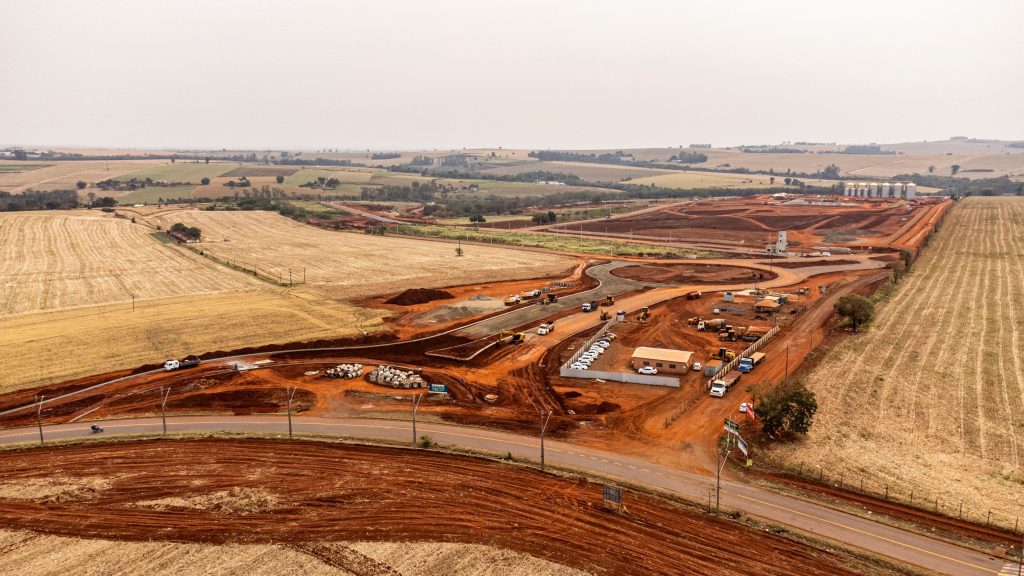
You may be sitting on land with significant untapped value. But positioning it credibly for data centre development requires more than acreage and availability — developers and hyperscalers need evidence.
Power proximity, planning position, connectivity, and risk profile all determine whether your land makes the shortlist or gets passed over. GIS-World prepares landowners with the geospatial evidence that serious buyers expect.
What we deliver for land owners:
- Power and grid proximity assessment to establish connection viability
- Planning constraint and zoning analysis to identify development potential
- Risk profile report covering flood, contamination, and environmental designations
- Connectivity and fibre infrastructure mapping
- A structured evidence pack designed to withstand developer due diligence
Is Your Land Data Centre Ready?
Turn Your Land Into a Credible Development Proposition
We Work With Land Owners
You may be sitting on land with significant untapped value. But positioning it credibly for data centre development requires more than acreage and availability — developers and hyperscalers need evidence.
Power proximity, planning position, connectivity, and risk profile all determine whether your land makes the shortlist or gets passed over. GIS-World prepares landowners with the geospatial evidence that serious buyers expect.
What we deliver for land owners:
- Power and grid proximity assessment to establish connection viability
- Planning constraint and zoning analysis to identify development potential
- Risk profile report covering flood, contamination, and environmental designations
- Connectivity and fibre infrastructure mapping
- A structured evidence pack designed to withstand developer due diligence
For the Teams Driving the Data Centre Pipeline
Move First. Move With Certainty.
We Work With
Operators &
Developers
You are building, leasing, or acquiring data centre capacity at pace — and the pressure to identify, qualify, and secure viable sites ahead of the market has never been greater. Every week lost to inadequate site intelligence is a week your competition gains.
GIS-World delivers the full acquisition intelligence picture so your team can move with speed and certainty from first look to final commitment.
What we deliver for Operators & Developers:
- Multi-criteria site suitability analysis across power, planning, and connectivity
- Grid capacity and substation proximity mapping
- Sustainability and ESG spatial intelligence to support planning and investor reporting
- Fibre and dark fibre route assessment
- LiDAR terrain modelling for engineering and feasibility
- Bespoke intelligence packages built around your acquisition criteria and timeline

For the Teams Driving the Data Centre Pipeline
Move First. Move With Certainty.
We Work With
Operators &
Developers
You are building, leasing, or acquiring data centre capacity at pace — and the pressure to identify, qualify, and secure viable sites ahead of the market has never been greater. Every week lost to inadequate site intelligence is a week your competition gains.
GIS-World delivers the full acquisition intelligence picture so your team can move with speed and certainty from first look to final commitment.
What we deliver for Operators & Developers:
- Multi-criteria site suitability analysis across power, planning, and connectivity
- Grid capacity and substation proximity mapping
- Sustainability and ESG spatial intelligence to support planning and investor reporting
- Fibre and dark fibre route assessment
- LiDAR terrain modelling for engineering and feasibility
- Bespoke intelligence packages built around your acquisition criteria and timeline

“We had been searching for a viable site for over six months using traditional methods. GIS-World turned around a comprehensive intelligence report in days that not only confirmed our shortlisted site but identified two stronger candidates we hadn’t considered. It fundamentally changed how we approach site acquisition.”
— Head of Acquisitions, Co-Location Operator

“We had farmland that had been in the family for generations and no idea it could be of interest to data centre developers. GIS-World assessed it, explained everything clearly, and within weeks we had introductions to three serious developers. The process couldn’t have been simpler.”
— Private Landowner, East Midlands

“The level of detail in the pre-construction intelligence package GIS-World provided gave our bid team a significant advantage. We priced with confidence, won the contract, and came in on programme. That’s a direct result of having the right spatial data from day one.”
SEAN FISHER
“We had been searching for a viable site for over six months using traditional methods. GIS-World turned around a comprehensive intelligence report in days that not only confirmed our shortlisted site but identified two stronger candidates we hadn’t considered. It fundamentally changed how we approach site acquisition.”
JANET MORRIS
“The level of detail and creativity this agency brings to the table is phenomenal. They truly understood our brand and executed a website that reflects our mission perfectly. Exceptional work!”
WILLEM BROWN
“I’m thoroughly impressed by the professionalism and expertise of the entire team. They delivered on time and exceeded our expectations with a stunning, user-friendly site.”
SEAN FISHER
Let’s work together on your
next web project
Every project is a journey, and we are here to guide you every step of the way.