
Data Centre Construction
Is Booming.
Are You Positioned to Win Your Share?
Geospatial Intelligence for Data Centre Construction Projects
GIS-WORLD
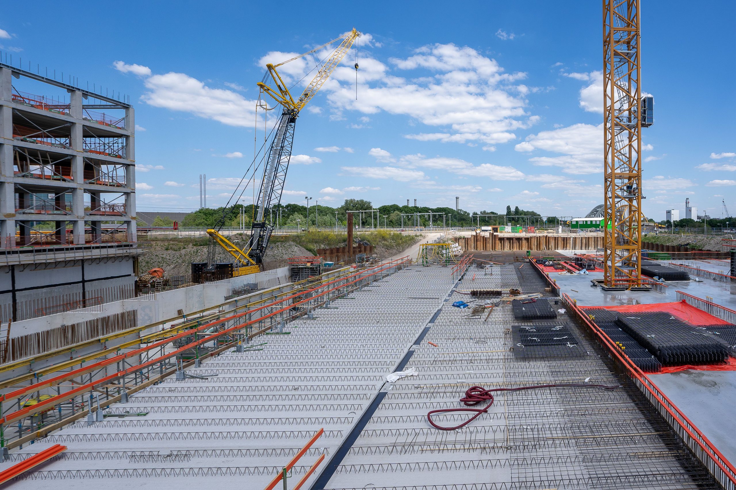
Construction Site Intelligence
The data centre sector is one of the fastest growing construction markets in the UK and Europe — and it shows no signs of slowing. Main contractors and design and build firms that position themselves correctly stand to secure some of the most significant and technically rewarding construction programmes of the next decade.
But winning data centre work and delivering it profitably demands a level of pre-construction site intelligence that standard survey and desktop assessment processes rarely provide. GIS-World gives builders the spatial edge to bid with confidence, programme with certainty, and deliver without costly surprises.
Improve the Construction Pipeline at EVERY Stage.
Complete Site Intelligence.
Built Around the Criteria That Actually Matter.

The Opportunity
The Data Centre Construction Pipeline Has Never Been Stronger.
For Main Contractors |
Design & Build Firms
Large Developments
Hyperscale campus developments requiring multi-phase construction programmes worth hundreds of millions
Complex Ultility Builds
High-density AI compute builds with complex power, cooling, and structural requirements
Co-Location Developments
Co-location facilities demanding exacting technical specifications and accelerated delivery timescales
Fast Delivery Builds
Smaller edge and managed service facilities requiring fast, efficient delivery at consistent quality
Bad Site Intelligence Is Expensive.
The Numbers Don’t Lie.
- Abortive pre-construction costs on bids built on inaccurate site data
- Programme delays caused by ground condition and drainage surprises
- Cost overruns on earthworks and enabling works due to topographical inaccuracies
- Utilities and services conflicts that emerge after construction has commenced
- Compressed margins on fixed-price contracts where risk was underestimated at bid stage
- Reputational damage with clients when delivery falls short of programme commitments
THE COST OF GETTING IT WRONG
For builders, the consequences of inadequate pre-construction site intelligence are felt directly on the bottom line. Ground conditions that weren’t properly assessed. Utilities conflicts that emerge during enabling works. Drainage issues that delay the programme. Topographical surprises that blow the earthworks budget.
These are not exceptional events. They are the predictable result of relying on desktop assessments and standard surveys that were never designed to meet the demands of data centre construction.
In a sector where margins are hard won and programme certainty is everything, the cost of getting site intelligence wrong is not just financial. It is existential for the client relationship.
Bad Site Intelligence Is Expensive.
The Numbers Don’t Lie.
- Abortive pre-construction costs on bids built on inaccurate site data
- Programme delays caused by ground condition and drainage surprises
- Cost overruns on earthworks and enabling works due to topographical inaccuracies
- Utilities and services conflicts that emerge after construction has commenced
- Compressed margins on fixed-price contracts where risk was underestimated at bid stage
- Reputational damage with clients when delivery falls short of programme commitments
THE COST OF GETTING
IT WRONG
For builders, the consequences of inadequate pre-construction site intelligence are felt directly on the bottom line. Ground conditions that weren’t properly assessed. Utilities conflicts that emerge during enabling works. Drainage issues that delay the programme. Topographical surprises that blow the earthworks budget.
These are not exceptional events. They are the predictable result of relying on desktop assessments and standard surveys that were never designed to meet the demands of data centre construction.
In a sector where margins are hard won and programme certainty is everything, the cost of getting site intelligence wrong is not just financial. It is existential for the client relationship.
Precision Intelligence Across Every Stage of the Build Programme.
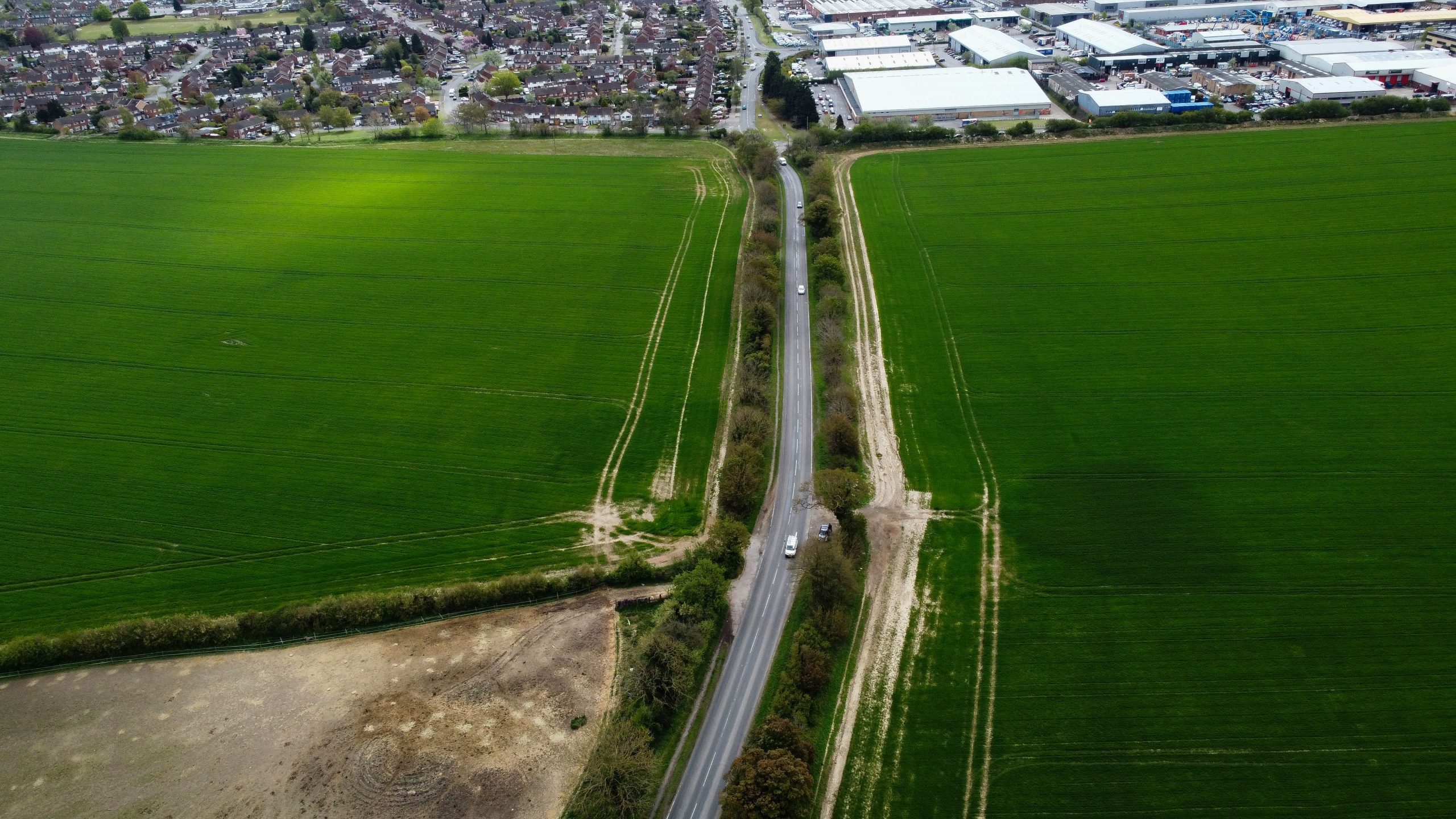
GIS-World provides construction teams with the spatial intelligence they need at every stage — from initial bid assessment through to detailed pre-construction survey and ongoing site monitoring. Our outputs are built around the specific technical requirements of data centre construction — not generic mapping overlays or off-the-shelf survey data.
For Pre-Construction or Bid Teams
Win More. Risk Less.
- Rapid site suitability and constraint assessment to support bid go/no-go decisions
- Ground condition and topographical analysis to inform preliminary cost planning
- Utilities and services mapping to identify potential conflicts early
- Flood risk and drainage assessment to inform enabling works planning
- Risk profiling to support contract negotiation and contingency planning
Winning data centre work requires more than competitive pricing. Clients at this level expect their contractors to demonstrate a deep understanding of the site & its constraints
Risks / Opportunities — before a spade goes in the ground. GIS-World gives your bid team the intelligence to demonstrate exactly that.
Who We Work With
Built for the Construction Businesses Delivering the Data Centre Pipeline.
GIS-WORLD
Delivering at Scale.
Without Surprises.
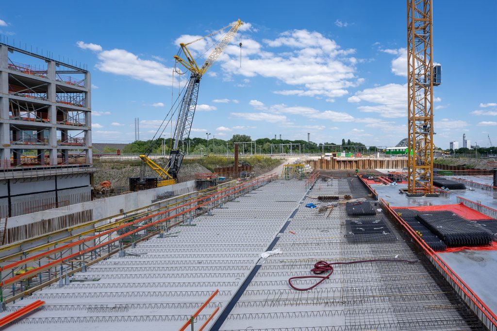
Main contractors on data centre programmes operate at the intersection of technical complexity, programme pressure, and client expectation. GIS-World gives your teams the pre-construction intelligence to plan with precision, bid with confidence, and deliver without the surprises that erode margin and damage relationships.
Who We Work With
Built for the Construction Businesses Delivering the Data Centre Pipeline.
GIS-WORLD
Delivering at Scale.
Without Surprises.
Main contractors on data centre programmes operate at the intersection of technical complexity, programme pressure, and client expectation. GIS-World gives your teams the pre-construction intelligence to plan with precision, bid with confidence, and deliver without the surprises that erode margin and damage relationships.
For Project Directors & Senior Management
Project directors on data centre builds operate in an environment of tight timescales, exacting technical specifications, and clients who expect delivery without excuses. The decisions made in pre-construction determine whether a project is delivered on programme and on budget — or not.
- Comprehensive pre-construction intelligence packages to support programme planning
- LiDAR terrain modelling to inform earthworks and enabling works sequencing
- Digital twin site modelling for programme visualisation and client reporting
- Ongoing drone survey monitoring to track progress and identify issues before they become problems
- Independent spatial evidence to support variation claims and contract management
Is your pre-construction intelligence strong enough to protect your programme and your margin?

For Technical & Engineering Leads
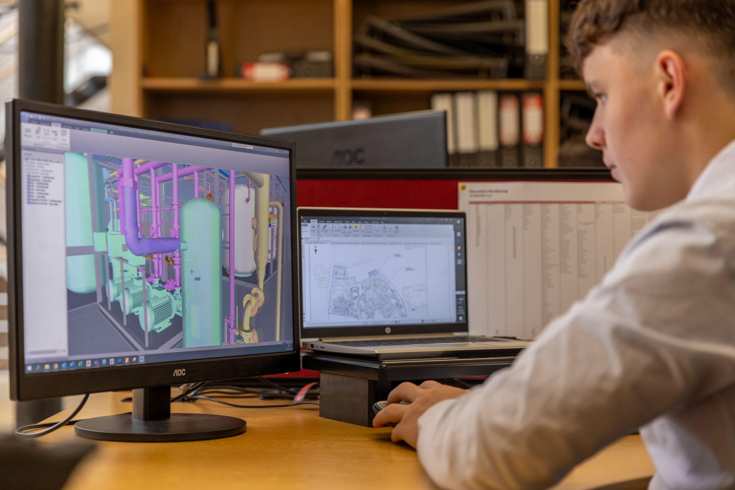
Technical and engineering decisions on data centre builds demand precision spatial data. Foundation design, drainage strategy, earthworks planning, utilities management, and cooling infrastructure all depend on accurate, high-resolution site information — and the consequences of working from incomplete data are felt throughout the build.
- High-resolution LiDAR 3D terrain and topographical modelling
- Ground condition and subsurface risk assessment
- Drainage pattern and surface water analysis
- Utilities and services proximity and conflict mapping
- Thermal and multispectral imaging to identify subsurface anomalies
- Millimetre-precision survey data to support foundation and structural design
Does your engineering team have the precision spatial data that data centre construction demands?
For Commercial & Quantity Surveying Teams
Commercial teams on data centre projects carry the risk of every assumption made during bid preparation. Inaccurate site data leads to inaccurate pricing — and on fixed-price contracts, the consequences land squarely on your bottom line. GIS-World gives your commercial team the intelligence to price with confidence and manage risk with precision.
- Detailed topographical and ground condition data to support accurate earthworks pricing
- Utilities conflict mapping to identify potential cost risks before they materialise
- Drainage and flood risk assessment to inform enabling works cost planning
- Independent spatial evidence to support variation and compensation event claims
- Comparative site data to benchmark costs across multiple bid opportunities
Is your commercial team pricing data centre bids on accurate intelligence or educated guesswork?

Design Informed by Reality. Not Assumptions.
We built our entire capability around the specific intelligence requirements of data centre construction.
HOW WE WORK
Fast, Focused, and Built Around Your Programme.
Spatial Intelligence for Data Centres Construction
GIS-WORLD
Our services

01 —
At Bid Stage
We provide rapid site intelligence to support go/no-go decisions, inform preliminary cost planning, and give your bid team the confidence to price with certainty rather than assumption. Fast turnaround, focused output, built around your submission timeline.

02 —
At Pre-Construction
We deliver detailed spatial intelligence packages covering ground conditions, topography, drainage, utilities, and access — giving your project, engineering, and commercial teams the full picture before enabling works commence and before costly surprises have a chance to emerge.

03—
During Construction
Our advanced drone survey and LiDAR monitoring programmes provide ongoing site intelligence throughout the build — tracking progress, identifying emerging issues, and generating the precision spatial records that support client reporting, variation management, and programme control.
Reports & Surveys
Advanced Reports & Site Surveys — Intelligence for the Construction Pipeline
From Desktop Intelligence to Precision On-Site Survey.
- High-Resolution Aerial Photography & Videography — Detailed visual site records for pre-construction planning, client reporting, and programme monitoring
- LiDAR-Powered 3D Terrain Modelling — Millimetre-precision topographical mapping to inform ground engineering, drainage design, and earthworks planning
- Digital Twin Site Modelling — A fully navigable 3D site representation enabling remote technical assessment, design integration, and client presentation
- Ground Condition & Drainage Analysis — Spatial assessment of surface drainage patterns, ground condition indicators, and geotechnical risk areas
- Thermal & Multispectral Imaging — Advanced sensor data to identify subsurface anomalies, drainage issues, and environmental factors invisible to standard surveys
- Boundary & Access Route Mapping — Precise site boundary definition and access route profiling to support logistics and enabling works planning
- Temporal Site Monitoring — Repeat survey programmes to track site condition and construction progress over time
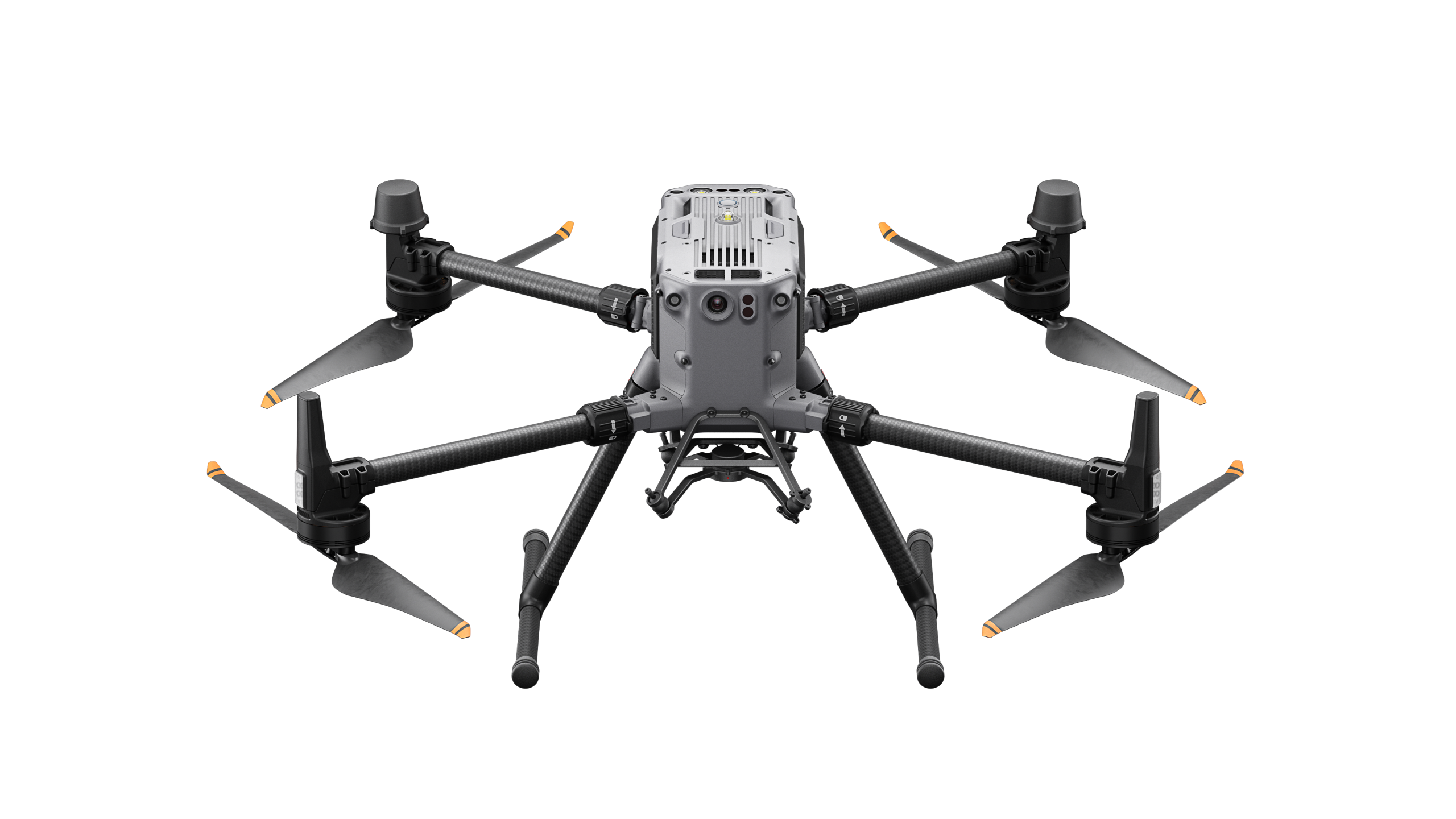
Drone Surveys
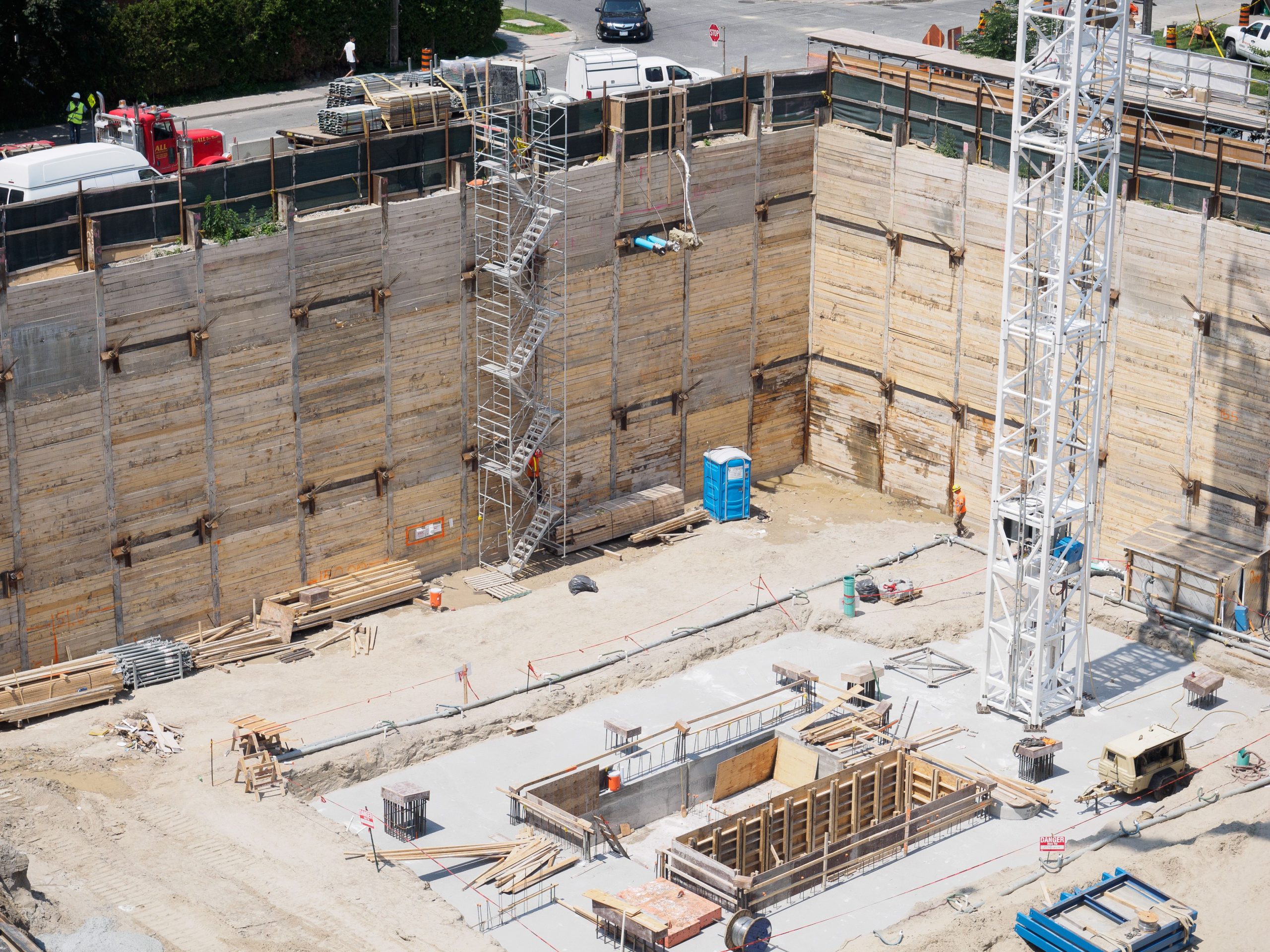
Where detailed site investigation is required, GIS-World deploys advanced drone survey and LiDAR programmes to provide the depth of technical evidence that data centre construction demands.
The Result
Our drone and aerial intelligence capability, developed technology platform, delivers precision spatial data that goes significantly beyond standard topographical surveys — giving construction teams the full picture before a single enabling works decision is made.
Frequently Asked Questions
We use established survey firms for our pre-construction investigation. What does GIS-World add that they don’t already provide?
Traditional survey firms deliver excellent on-site investigation — but their outputs are typically limited to the specific parameters they are commissioned to measure. GIS-World integrates spatial data across grid infrastructure, planning constraints, environmental risk, connectivity, and topography into a single coherent intelligence picture, delivered before formal survey programmes begin. We identify the risks and opportunities that determine whether a site is worth surveying at all — and ensure that when you do commission ground investigation, it is targeted precisely where the data says it needs to be.
At what stage in the programme should we engage GIS-World?
The earlier the better. Our greatest value is delivered at bid stage and pre-construction — when the intelligence we provide directly informs pricing, programming, and risk allocation decisions. Engaging GIS-World after heads of terms have been agreed or construction has commenced means working with constraints that could have been identified and managed far earlier. That said, our drone survey and digital twin capability adds value at any programme stage, including construction monitoring and handover documentation.
Can GIS-World support multiple concurrent bids or live programmes?
Yes. Many of our construction clients work with us across an active pipeline of bids and live programmes simultaneously. We structure our engagements to provide the right level of intelligence at the right programme stage for each project — whether that is a rapid desktop assessment for an early-stage bid or a full LiDAR survey package for a live pre-construction programme.
How does GIS-World’s drone survey capability compare to standard topographical survey?
Significantly more detailed, faster to mobilise, and considerably more versatile. Our LiDAR-powered drone survey delivers millimetre-precision topographical data across an entire site in a fraction of the time a traditional ground survey requires — and at a resolution that standard surveys cannot match. Beyond topography, our thermal imaging, multispectral analysis, and digital twin capability provide layers of site intelligence that traditional survey methods simply cannot deliver. For data centre construction, where the technical demands of the build are exceptionally high, that level of precision is not a luxury. It is a necessity.