
Smarter Sites. Faster Decisions. Better Outcomes.
The Sites That Will Define the Next Decade Are Being Secured Right Now.
Delivering the Geospatial Intelligence to give you the EDGE
GIS-WORLD
Acquisition | Planning | Technical Insights
The data centre pipeline has never moved faster. Hyperscalers, co-location providers, AI compute operators, and cloud storage businesses are all chasing the same finite pool of viable land. The difference between securing the right site and losing it to a competitor rarely comes down to budget. It comes down to intelligence and how quickly you can act on it.
GIS-World delivers the geospatial intelligence that gives your acquisition, planning, technical, and investment teams the edge they need to move first, move fast, and move with certainty.
Find the best locations FASTER than ever.
Complete Site Intelligence.
Built Around the Criteria That Actually Matter.
Bad Site Intelligence Is Expensive.
The Numbers Don’t Lie.
- Abortive professional fees on sites that should never have progressed
- Delayed pipeline delivery as teams restart searches from scratch
- Compressed negotiating positions when vendors sense urgency
- Planning refusals on sites with avoidable constraint issues
- Grid connection queue delays caused by unsupported power requests
- Reputational damage with landowners, agents, and local authorities
THE COST OF GETTING IT WRONG
For developers and operators working at pace, the real cost of inadequate site intelligence is rarely discussed openly — but it is felt across every function.
Acquisition teams waste weeks progressing sites that fail basic technical qualification. Planning managers inherit sites with fundamental constraint issues that should have been identified at screening stage.
Technical teams discover grid connection challenges after heads of terms have been agreed. Investment committees approve capital allocation based on incomplete due diligence, only to face costly write-downs when the full picture emerges.
In a market where viable sites are scarce and competition is fierce, the cost of getting it wrong is not just financial. It is competitive.

Bad Site Intelligence Is Expensive.
The Numbers Don’t Lie.
- Abortive professional fees on sites that should never have progressed
- Delayed pipeline delivery as teams restart searches from scratch
- Compressed negotiating positions when vendors sense urgency
- Planning refusals on sites with avoidable constraint issues
- Grid connection queue delays caused by unsupported power requests
- Reputational damage with landowners, agents, and local authorities
THE COST OF GETTING IT WRONG
For developers and operators working at pace, the real cost of inadequate site intelligence is rarely discussed openly — but it is felt across every function.
Acquisition teams waste weeks progressing sites that fail basic technical qualification. Planning managers inherit sites with fundamental constraint issues that should have been identified at screening stage.
Technical teams discover grid connection challenges after heads of terms have been agreed. Investment committees approve capital allocation based on incomplete due diligence, only to face costly write-downs when the full picture emerges.
In a market where viable sites are scarce and competition is fierce, the cost of getting it wrong is not just financial. It is competitive.

WHAT GIS-WORLD DELIVERS
Complete Site Intelligence. Built Around the Criteria That Actually Matter.
For Site Acquisition & Pipeline Development
Economic benefit
Data centre developments generate significant land values and long-term lease income.
For agricultural landowners in particular, a single data centre lease can generate returns that dwarf decades of farming income from the same acreage.
Sustainable land use
Modern data centres are increasingly powered by renewable energy, built to high environmental standards, and designed to minimise their impact on surrounding land and communities.
They represent a responsible, long-term use of land that might otherwise sit idle or generate minimal return.
Community and economic impact
Data centres bring skilled jobs, local supply chain investment, and significant business rate contributions to the areas where they are built.
Local authorities across the UK are actively seeking them as economic anchors.
Your land, your terms
Data centre development does not necessarily mean selling.
Long-term leasehold arrangements allow landowners to retain ownership whilst generating substantial income — giving you the best of both worlds.
Land You Were Told Had Limitations May No Longer Be Limited.
One of the most important — and least understood — developments in the data centre land market is the shift in planning policy across the UK.
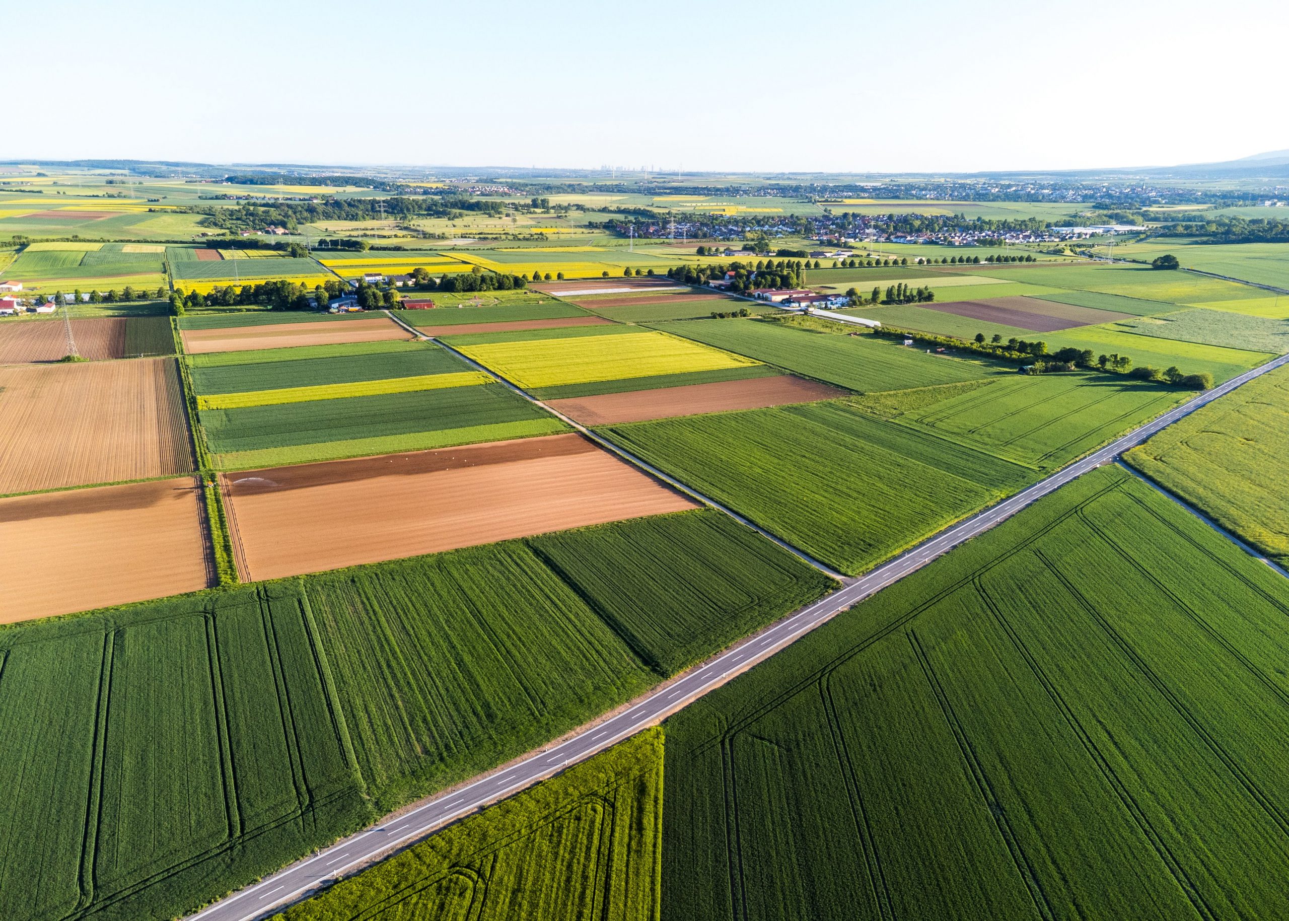
Recent legislative changes have loosened restrictions that previously made certain land difficult or impossible to develop commercially. Sites that were once constrained by outdated industrial classifications, agricultural designations, or restrictive local planning policies are now being reassessed. In many cases, land that was considered marginal or overlooked even by its own owners is now viable for data centre development.
How does this Affect your Land
What this means in practice:
- Land previously classified for agricultural or low-value industrial use may now qualify for high-value data centre development
- Brownfield sites that lacked viable commercial use cases are being actively targeted by developers
- Some previously restricted land now falls within revised enterprise or development zones with streamlined consent routes
- Local authorities in many areas are actively encouraging data centre development as a source of economic growth and infrastructure investment
If you have not had your land independently assessed against current planning policy, you may be significantly underestimating what you own.
Who We Work With
Built for the Businesses Driving the Data Centre Pipeline.
GIS-WORLD Driving
Data Centres
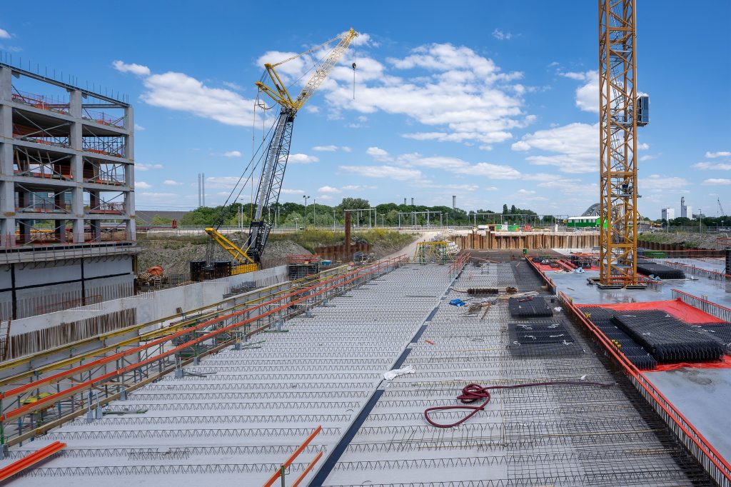
GIS-World works with the full spectrum of data centre development and operation — from the largest hyperscale operators building gigawatt-scale campuses to specialist co-location providers, AI compute operators, and cloud storage businesses seeking strategically located sites.
Who We Work With
Built for the Businesses Driving the Data Centre Pipeline.
GIS-WORLD Driving
Data Centres
GIS-World works with the full spectrum of data centre development and operation — from the largest hyperscale operators building gigawatt-scale campuses to specialist co-location providers, AI compute operators, and cloud storage businesses seeking strategically located sites.
Hyperscale Developers & Campus Operators
Large-scale data centre development demands intelligence at scale. We support hyperscale teams with rapid multi-site screening, detailed acquisition intelligence, and the technical evidence base that campus-scale planning applications require.
Are your candidate sites genuinely viable at the scale you need to build?


Co-Location Providers
Location, connectivity, and planning certainty are everything in co-location. We identify and qualify sites that meet the exacting standards your customers expect — and deliver the intelligence to support fast, confident acquisition decisions.
Does your next site have the connectivity credentials your customers will demand?
AI Compute & High-Density Operators
High-density AI workloads place exceptional demands on power infrastructure, cooling design, and grid capacity. We identify sites with the power headroom and technical characteristics that next-generation AI compute facilities require.
Does your shortlisted site have the power infrastructure to support next-generation AI workloads?

Cloud Storage & Managed Service Operators
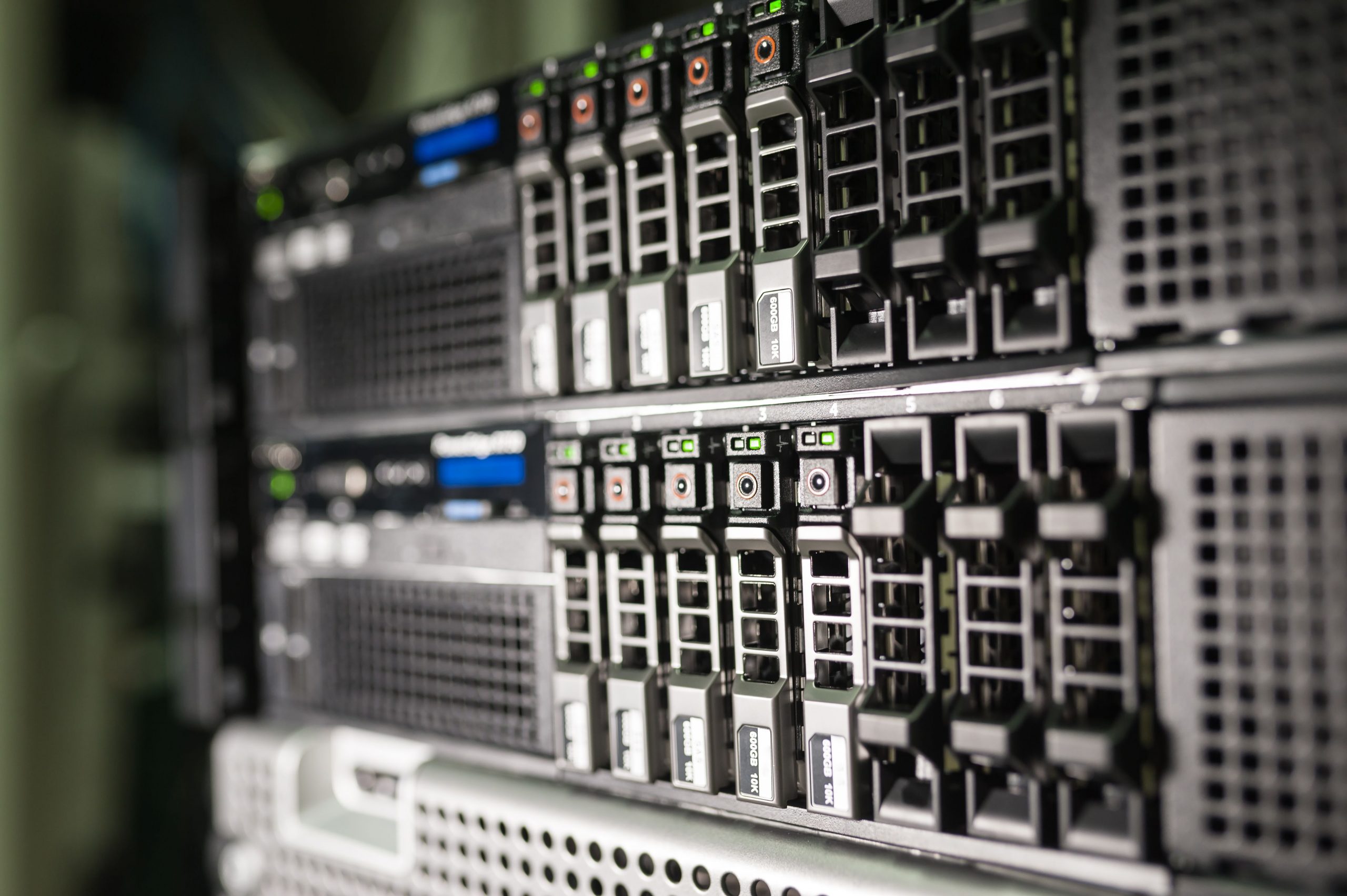
Connectivity, redundancy, and sustainability credentials are the defining criteria for cloud storage site selection. We map the full connectivity and ESG picture for any candidate location — giving your team the complete intelligence picture from day one.
Does your site deliver the resilience and sustainability credentials your investors and customers expect?
Specialist Intelligence. Not Generalised Data.
We built our entire capability around the specific intelligence requirements of data centre land acquisition.
HOW WE WORK
Fast, Focused, and Built Around Your Requirements.
Spatial Intelligence for Data Centres
GIS-WORLD
Our services

01 —
Define
You tell us your acquisition criteria, target geography, power requirements, and timeline. We align our analytical framework to your specific project parameters.

02 —
Analyse
We run a full multi-source geospatial assessment — integrating grid, planning, environmental, connectivity, and topographical data — powered by our AI-driven analytical platform.

03—
Deliver
You receive a structured intelligence package — technically rigorous, commercially focused, and formatted for the audience that needs to act on it, whether that is your acquisition team, planning consultants, technical engineers, or investment committee.
Our services
01 —
Define
You tell us your acquisition criteria, target geography, power requirements, and timeline. We align our analytical framework to your specific project parameters.
02 —
Analyse
We run a full multi-source geospatial assessment — integrating grid, planning, environmental, connectivity, and topographical data — powered by our AI-driven analytical platform.
03—
Deliver
You receive a structured intelligence package — technically rigorous, commercially focused, and formatted for the audience that needs to act on it, whether that is your acquisition team, planning consultants, technical engineers, or investment committee.
Follow Up Surveys
Advanced Site Surveys — Giving Developers the Full Picture
Our advanced survey capability includes:
- High-Resolution Aerial Photography & Videography — Detailed visual site records for acquisition presentations, planning submissions, and investor reporting
- LiDAR-Powered 3D Terrain Modelling — Millimetre-precision topographical mapping to inform ground engineering, drainage design, and earthworks planning
- Digital Twin Site Modelling — A fully navigable 3D representation of the site, enabling remote technical assessment, design integration, and stakeholder presentation without repeated site visits
- Ground Condition & Drainage Analysis — Spatial assessment of surface drainage patterns, ground condition indicators, and potential geotechnical risk areas
- Boundary & Access Route Mapping — Precise site boundary definition and access route profiling to support legal, planning, and logistics requirements
- Thermal & Multispectral Imaging — Advanced sensor data to identify subsurface anomalies, drainage issues, and environmental factors invisible to standard aerial surveys
- Temporal Site Monitoring — Repeat survey programmes to track site condition changes over time, supporting ongoing due diligence and development monitoring
Drone Surveys
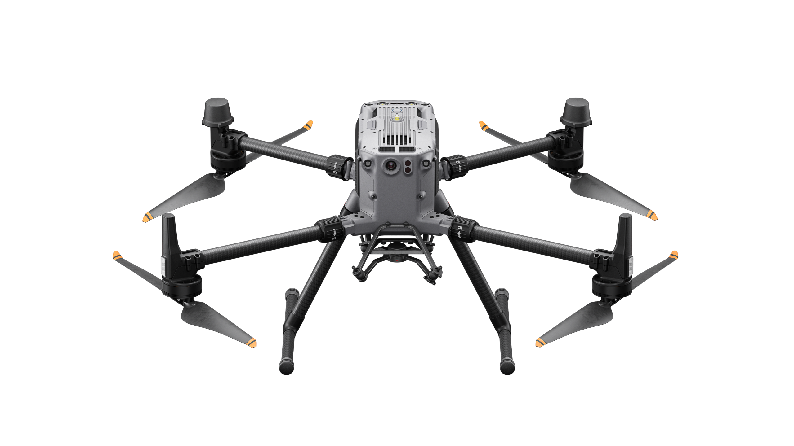
Where detailed site investigation is required, GIS-World deploys advanced drone survey and LiDAR programmes to provide the depth of technical evidence that formal due diligence, engineering design, and planning submissions demand.
The Result
Developers and operators who commission advanced site survey data at the intelligence stage dramatically accelerate the formal due diligence process.
Frequently Asked Questions
Do I need to have planning permission already in place for my land to be of interest to data centre developers?
Not at all. In many cases, developers will work with landowners to pursue planning consent as part of the acquisition process. What matters at the outset is whether your land has the right fundamental characteristics — power access, size, topography, and location. GIS-World’s assessment will give you a clear picture of your planning position and what, if anything, would need to be addressed to strengthen it.
My land has always been used for agriculture — could it really be suitable for a data centre?
Potentially yes — and more often than you might expect. Agricultural land with good grid proximity, flat or gently sloping topography, and reasonable access is actively sought by data centre developers. Recent changes to planning legislation have also opened up development pathways for agricultural land that would previously have faced significant restrictions. The only way to know for certain is to have your site properly assessed.
Does working with GIS-World mean I have to sell my land?
No. Many landowners choose to retain ownership and enter into long-term leasehold arrangements with data centre developers — generating substantial and reliable income without giving up the asset itself. GIS-World’s role is to assess your land’s potential and connect you with the right opportunities. What you do with that information, and on what terms, remains entirely your decision.
How long does the assessment take and what does it cost?
Our initial land assessment is straightforward and completed quickly — typically within a few days of receiving your site details. We will always be transparent about costs before any work begins, and the initial conversation with our team carries no obligation whatsoever. If your land shows genuine development potential, we will talk you through the next steps and what they involve before you commit to anything.